LAND SURVEYING
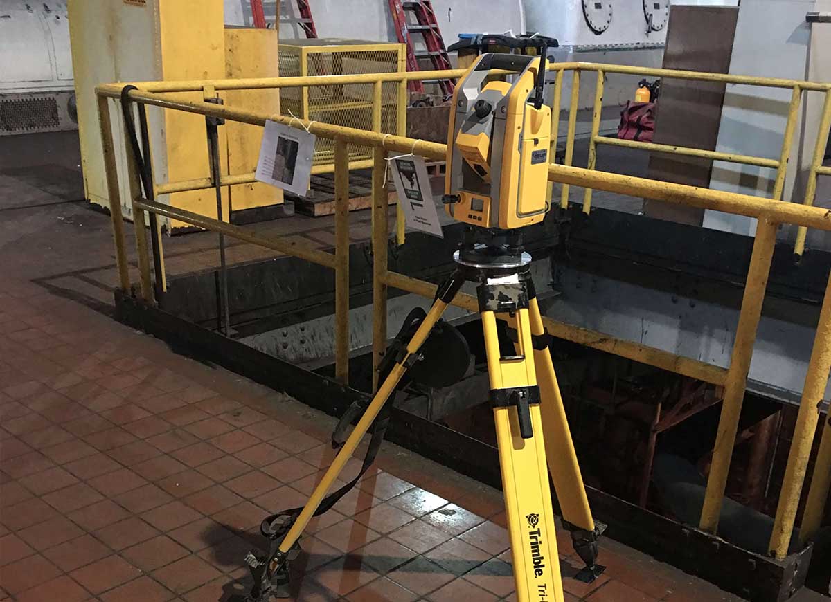
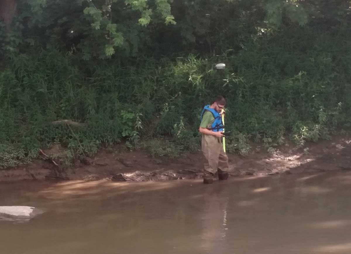
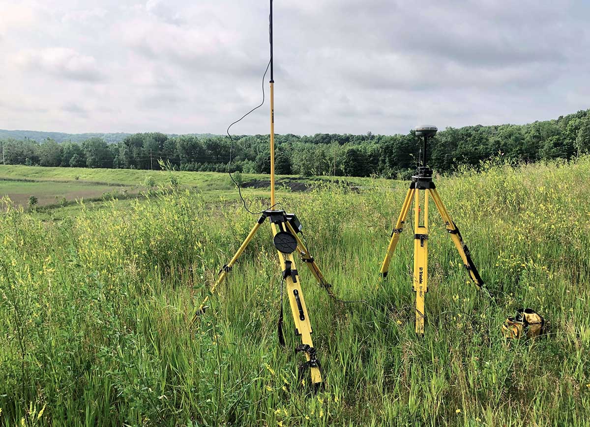
Land surveying is the science of determining the terrestrial or three-dimensional position of points and the angles between them. IngenAE specializes in projects that include establishing and calculating elevations, maps, boundaries, locations of land features, manmade features, and point and elevation staking for future developments.
Additional services and expertise include but are not limited to:
- Landfill Liner Installation
- Landfill As-Built Surveys
- Landfill Volumetric Surveys
- New Landfill Cell Certifications
- Hazardous Waste Surveys
- FEMA Elevation Surveys & Certification
- Landfill Gas Well & Piping
- Landfill Settlement Surveys
- Aerial Photograph Control
- Landfill Cell Closures
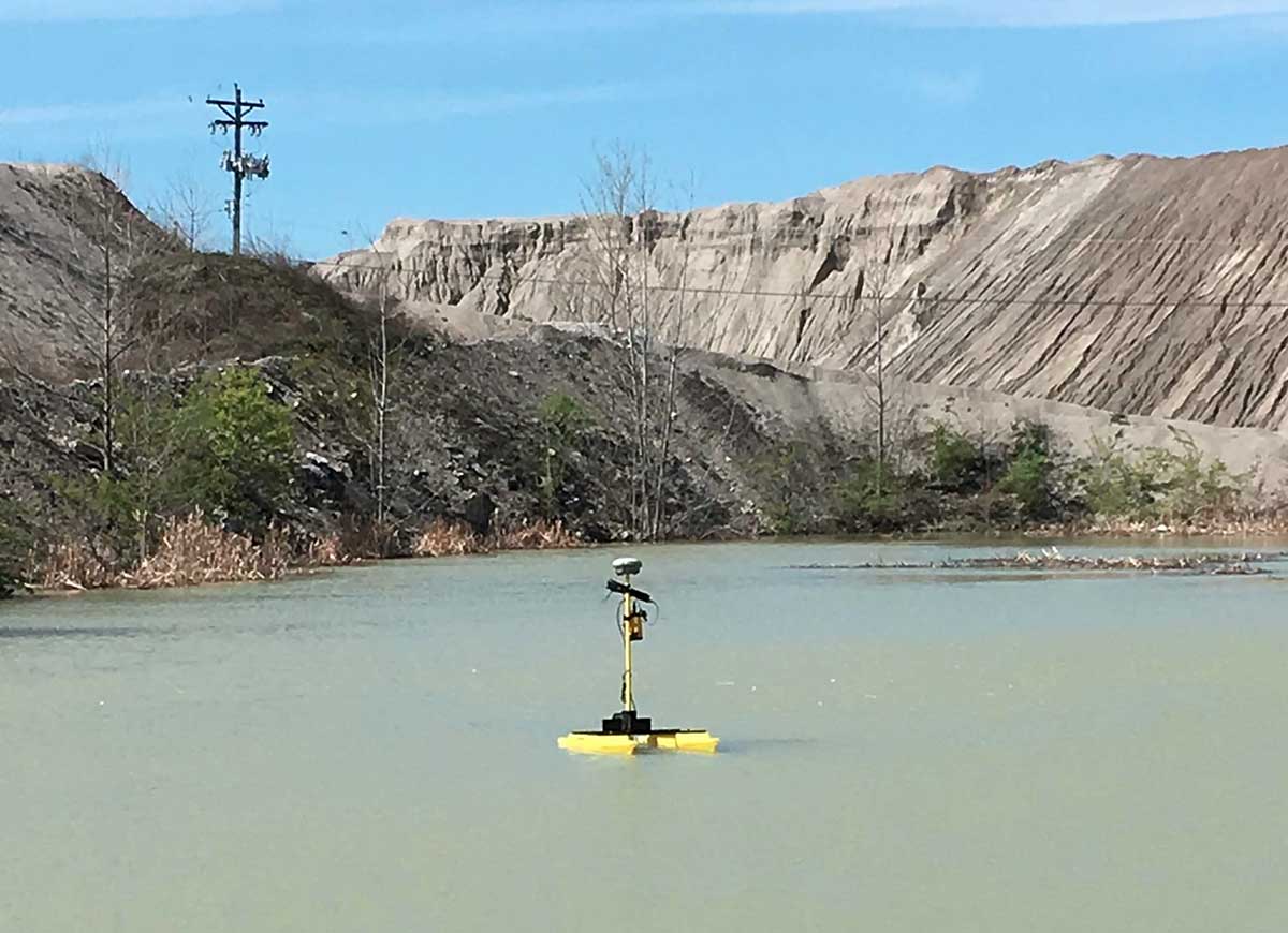
- Bathymetric Surveys
- Alta Survey
- Drone Survey